OUR SERVICES
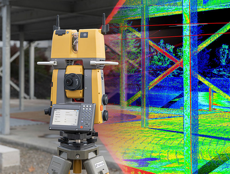
Laser Scanning
Capturing precise three-dimensional information of the Asset.
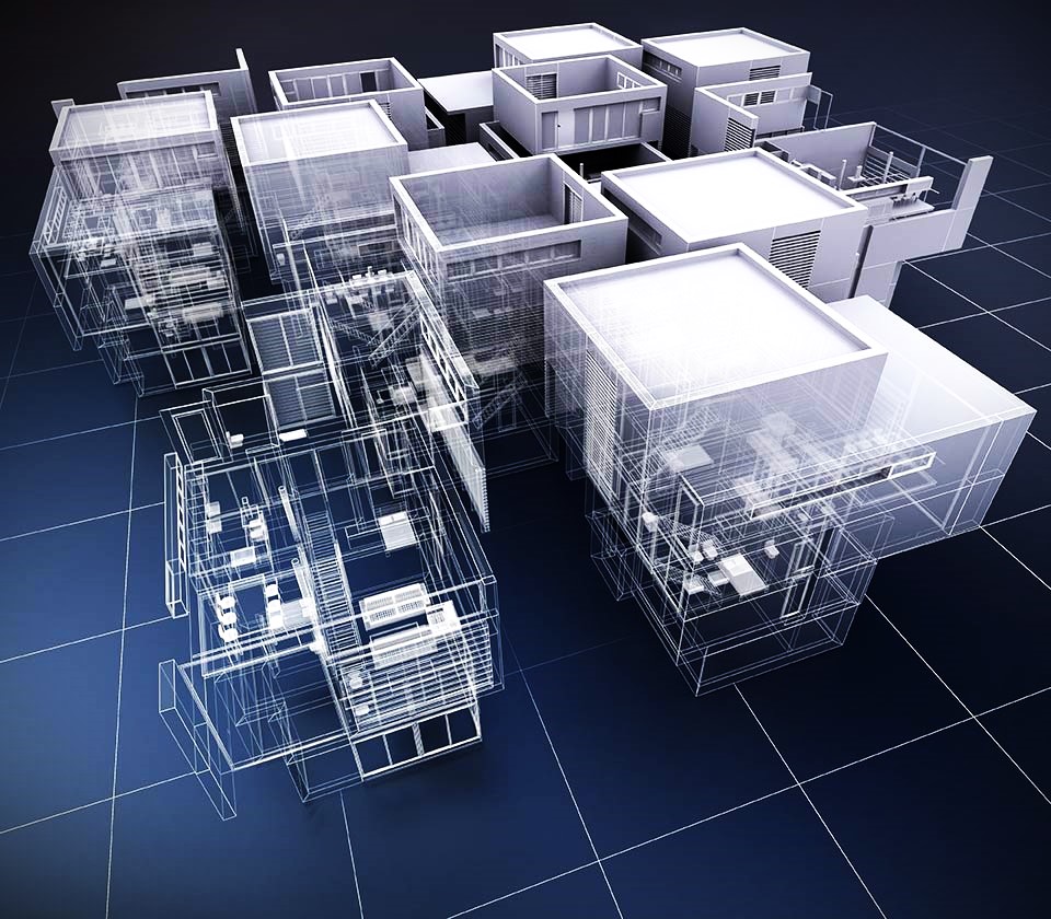
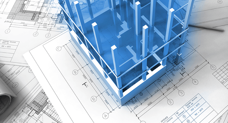
3D Modelling
A step-change in the surveying industry
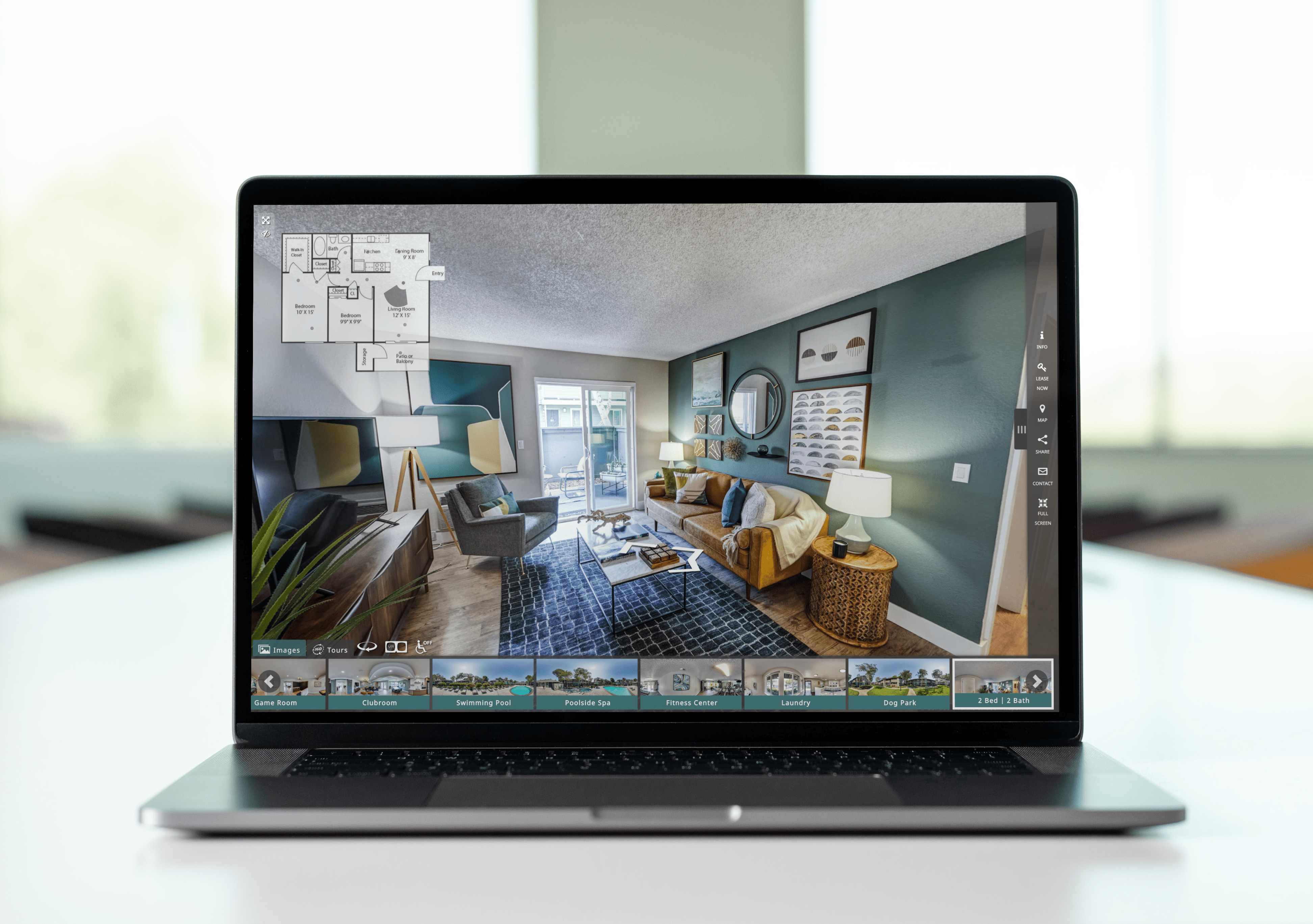
Virtual Tour
It is the perfect way to capture attention
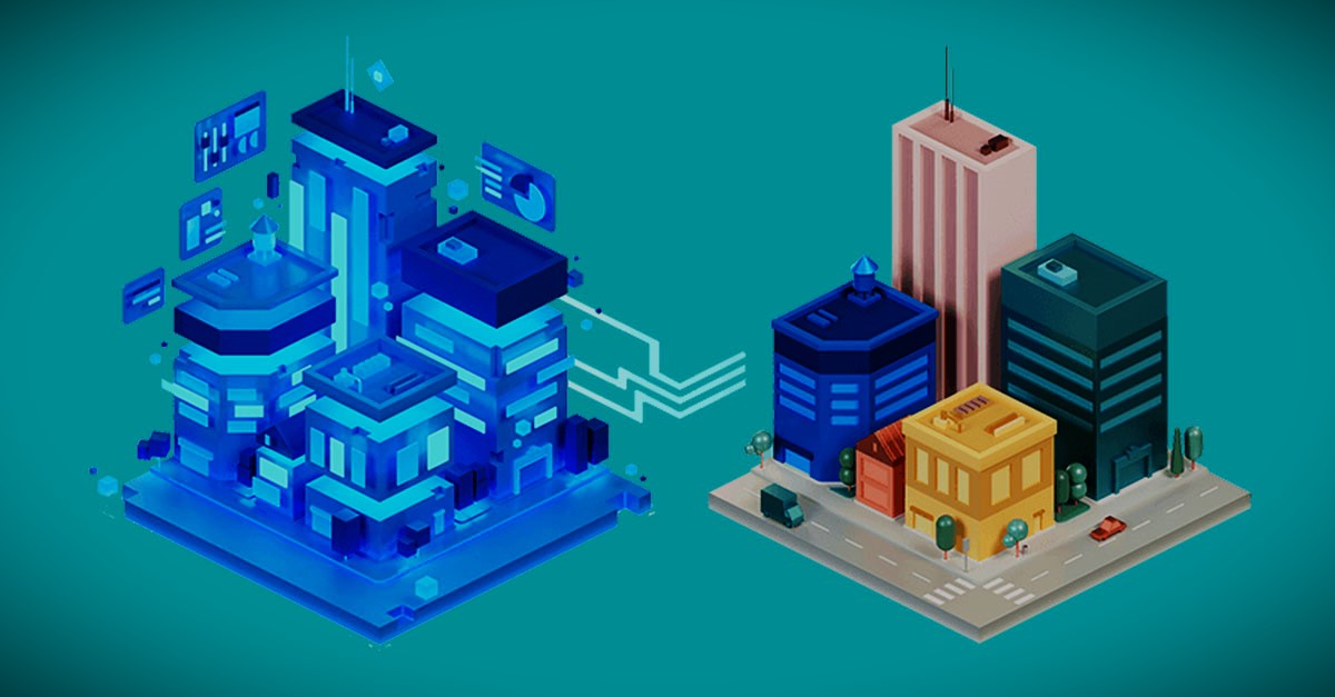
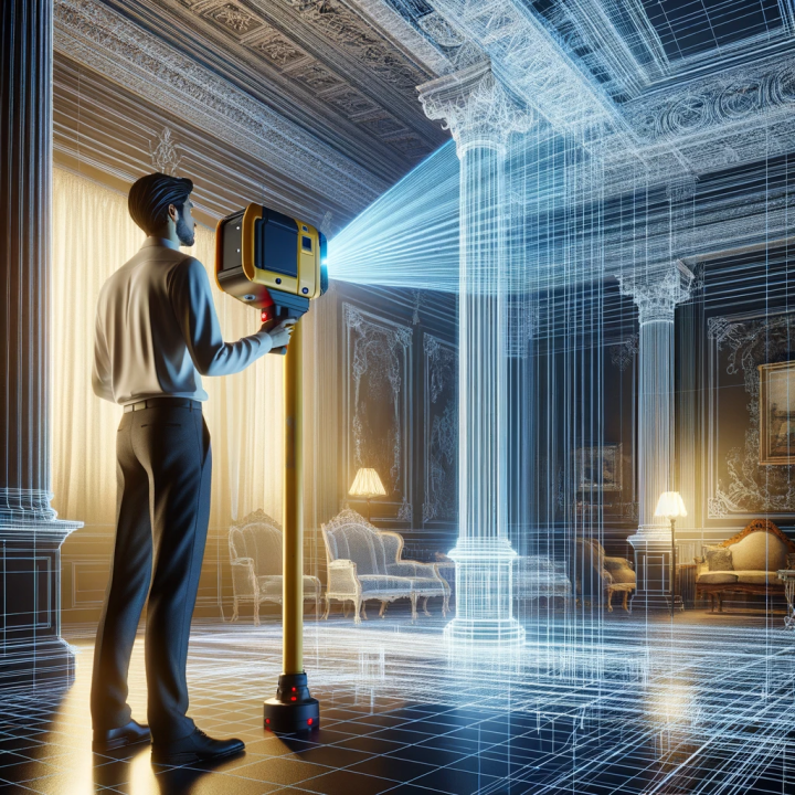
Digital Twin
Digital twin technology for engineering assets
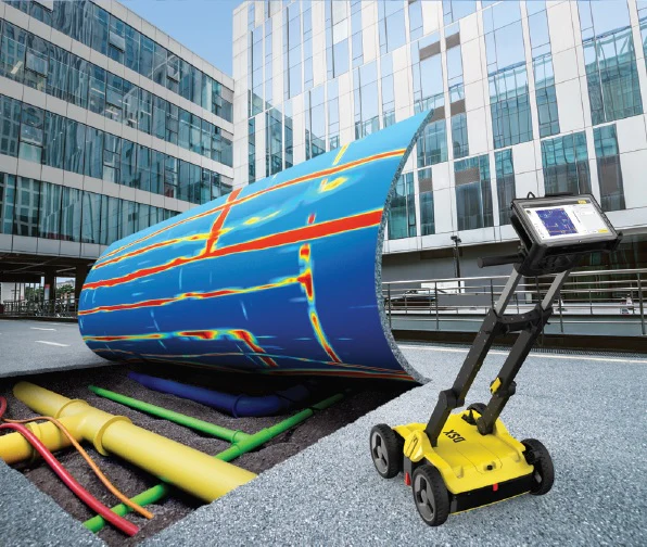
GPR-Utility Detections
From simple marks to georeferenced depth slices
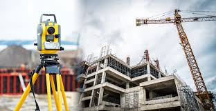
Engineering Survey
Site verifications, accurate data collections in digital form.
Route-Logistics Survey
Digital representation feasibility of the route & highlight obstructions
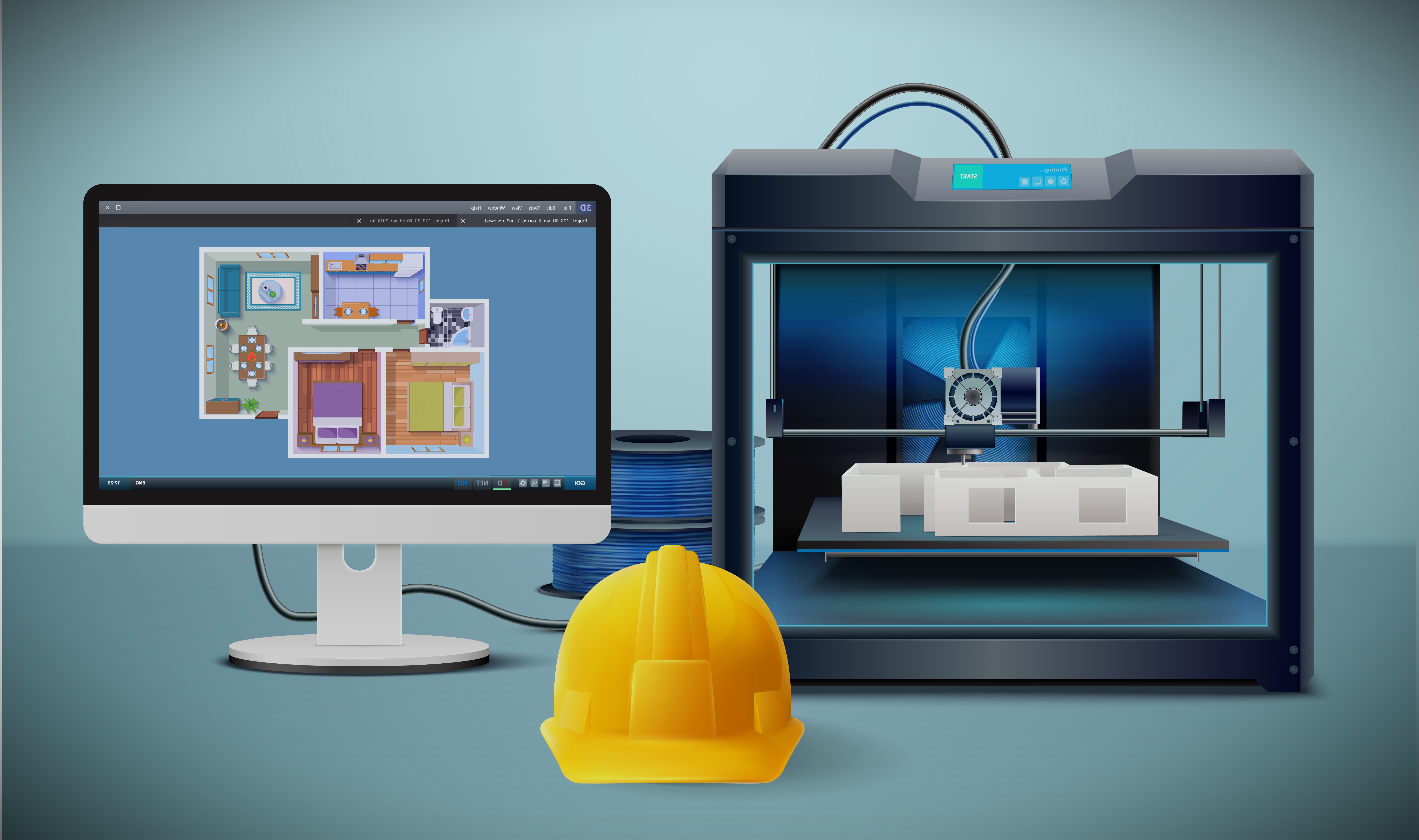
Dimensional Control
Measurements & 3D mathematical modelling

Topography
Provide geological symbols that represent man-made, natural - objects.
As Built Verifications
Combination of technology and techniques
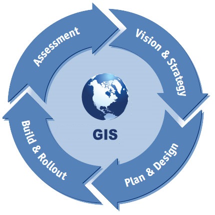
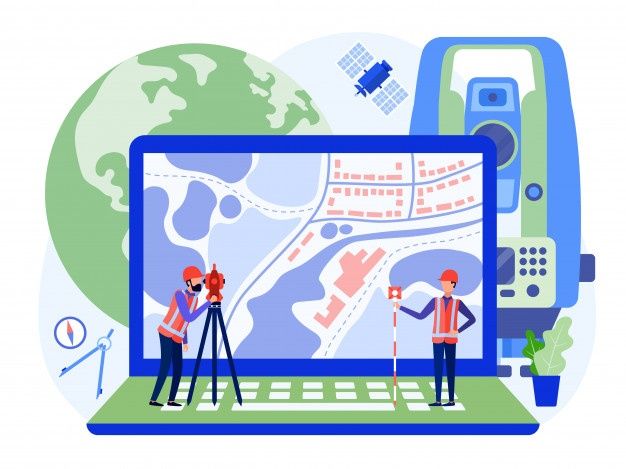
GIS
Manage the entire aspect of a project
LIDAR
Light Detection and Ranging technology